Data alone is not relevant. To be meaningful, it must be processed -i.e. to have relevance, purpose and context- and thus be useful to interpret reality.
QGIS is an extremely versatile free and open source tool that works on all platforms, supporting raster and vector jobs. What should be highlighted in the use of this platform is that it works with geospatial databases (PostGIS).
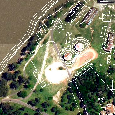
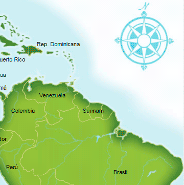
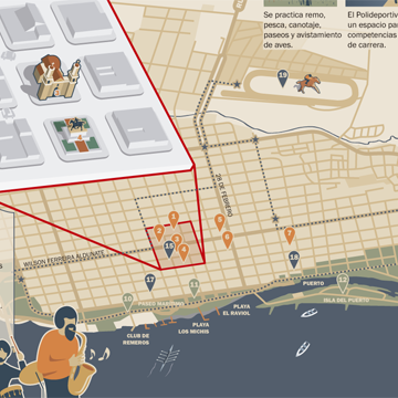
Thematic, interactive or printed illustrations and maps. Adapted to institutional design criteria and any information design requirement. Regional, urban, historical, archaeological maps, or any other specific requirements.
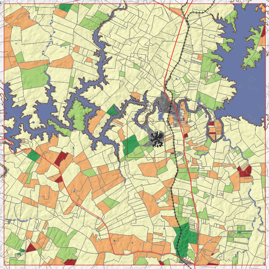
Configurations analysis in specific geographic areas in order to focus actions or develop ontingency plans.
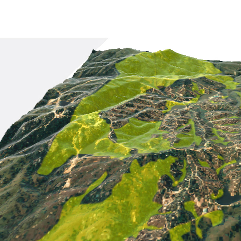
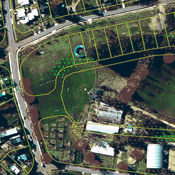
Studying the territory allows you to turn the resulting data into useful information.


"In our rural micro-enterprise we managed to plan water management crossing terrain and weather data. It's an innovative look at the field of fungiculture."

"We needed to inventory the land and all natural resources where we develop our activity, and improve our management using technology. We took an important step towards effectiveness through geomatics."

"Deciding where to place my business can be challenging. Many people's opinions and so many variables to think about. It is best when decisions are made in an informed way."
We'll answer shortly
Andrea Pesce
Setas y Zarcillos