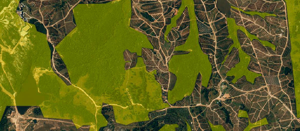
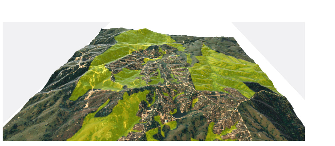
Territorial analysis, evolution of olive plantations in areas with forests of native flora. The study area is located in mountain area, for its better visualization 3D maps with vertical exaggeration and shadow projection are used. The base data are of national origin, DTM models and orthoimages.
The areas covered with woods of native flora were delimited by photointerpretation with historical images, supported by land use classification based on satellite images.